Tuesday, December 11, 2007
Monday, December 10, 2007
Wednesday, December 5, 2007
Extra Credit, Example Maps
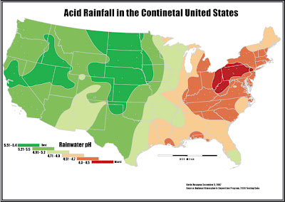
 These type of maps are always fun to look at because they are such a stark departure from what we are used to looking at.
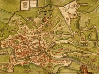 Another cool typography map, this is almost a work of art as much as it is a map. Very nice color choice as well as the neat look of the land in the map.
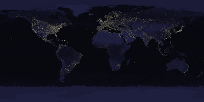 I always like looking at the earth at night maps, so it wasnt a hard choice to put this one in my favorite examples.
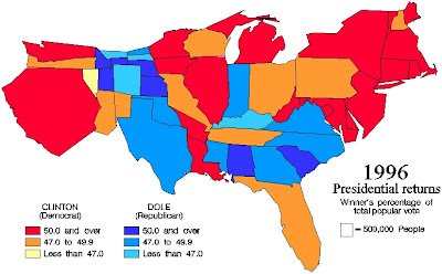
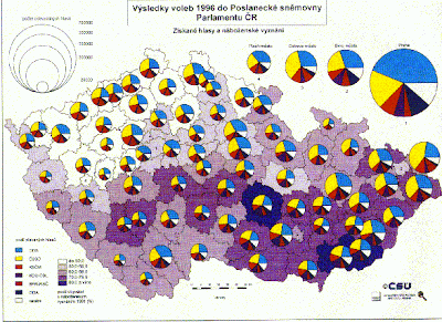 I like this map because of the proportional symbols and the fact that while in another language, the map looses nothing in translation because of how it was mapped.
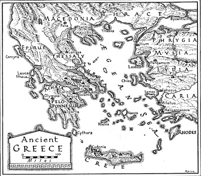 Very neat looking map, especially for the typography. Most of the interesting example maps I liked were very often typography maps.
Extra Credit
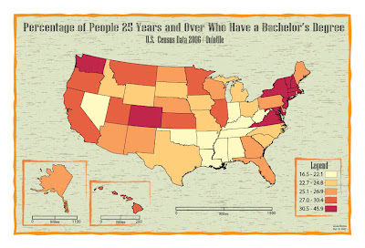 I really liked the layout and color/background choices for this map. The neatlines around the insets and legend looks really cool, this is probably my favorite map of all.
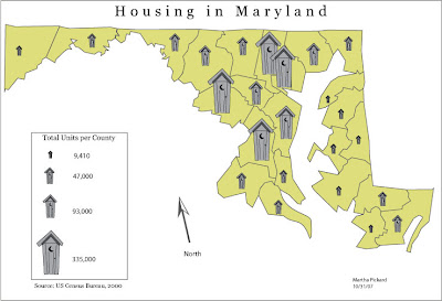 I picked this one because I really liked the symbols. They are very well made and are easy to distinguish.
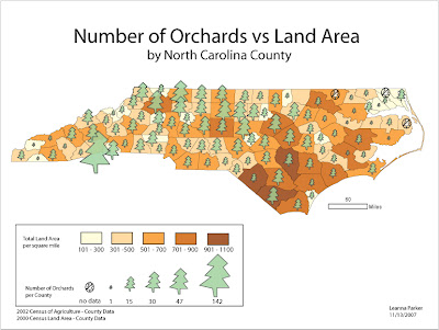 I chose this one because I really liked both the symbols and the layout, especially in the legend.
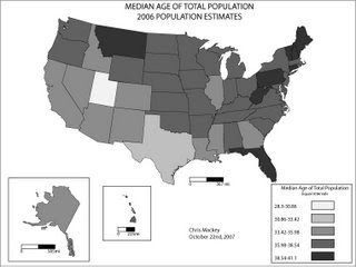 I picked this one because I thought for the black and white maps we had to make, it looked like one of the nicest.
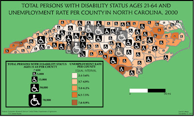
Here is another one of NC that I liked for both the layout and the excellent choice of symbols. The colors were also nice and helped to make this a nice map.
Monday, November 19, 2007
Wednesday, November 14, 2007
Monday, November 12, 2007
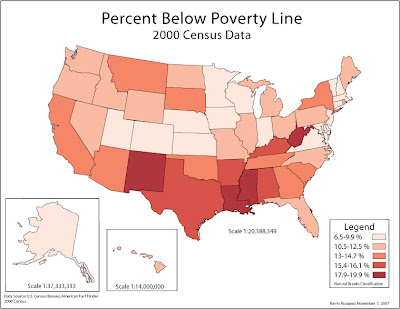
There is a clear difference between the two versions. The printed copy is much sharper, with far more accuracy to the colors originally selected. The web version appears dull and not as vibrant as the printed copy. I was expecting to be more pleased with the webmap than the printed copy but it is the other way around. I would try to adjust the colors in the future to make them sharper on screen.
Monday, October 22, 2007
Monday, October 15, 2007
Monday, October 1, 2007
Monday, September 24, 2007
Sunday, September 23, 2007
Monday, September 17, 2007
Thursday, September 6, 2007
Colorado Hiking- I picked this link because it showcases some of the outcomes of physical geography and is a big part of my life. I grew up in Colorado and will hike any chance I get. This site is pretty cool and shows a bunch of pics of the mountains.
AAG- I put this link on because it is one of the better known geography associations. Also they put out a really good handbook called the "Guide to Geography Programs in the Americas" which has been very helpful in my grad school search.
NGA- I put this site on here because it is a very interesting organization and a leader in geographic applications in the U.S. government.
Subscribe to:
Posts (Atom)


